


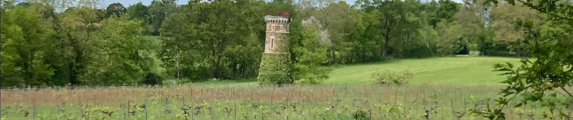
Le cellier

Lobin
User
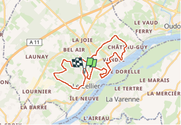

Length
15.8 km

Max alt
84 m

Uphill gradient
301 m
Km-Effort
19.9 km

Min alt
6 m

Downhill gradient
302 m
Boucle
Yes
Creation date :
2023-05-01 07:02:39.0
Updated on :
2023-05-01 12:49:01.863
2h57
Difficulty : Medium

FREE GPS app for hiking
 SityTrail
IGN / Geographical institutes
SityTrail Plus
The world is yours!
About
Trail Walking of 15.8 km to be discovered at Pays de la Loire, Loire-Atlantique, Le Cellier. This trail is proposed by Lobin.
Photos


Positioning
Country:
France
Region :
Pays de la Loire
Department/Province :
Loire-Atlantique
Municipality :
Le Cellier
Location:
Unknown
Start:(Dec)
Start:(UTM)
624875 ; 5242526 (30T) N.
Comments